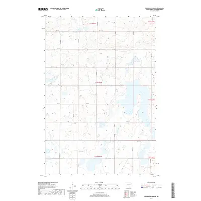
2018 Map of Coldwater Lake SW
USGS Topo · Published 2018About this map
Glacial prairie potholes and scattered wetlands define this section of McIntosh County, reflecting the characteristic geography of the Missouri Coteau. This landscape is marked by a grid of rural section lines, with Co Rd 9 serving as a primary north-south artery through the rolling terrain. Genealogy and local history researchers will find the locations of Hope Cem and Peace Cem, which stand as quiet landmarks within this sparsely populated agricultural area. The township and range boundaries, including t130n r68w and t130n r67w, delineate the historical land organization of the region, where numerous unnamed water bodies and sloughs punctuate the cultivated fields and pastures.
Find a feature on this map
16 named features on this map. Tap any name to fly to it.
Don’t see what you’re looking for? This feature index may not catch every label — zoom into the map to look around manually.
Map Details
Editions of this 2018 Coldwater Lake SW Map
This is the sole edition of this map. No revisions or reprints were ever made.
Other maps of this area

1953 · Jamestown
USGS Topo · 1:250,000

1954 · Aberdeen
USGS Topo · 1:250,000

1956 · Aberdeen
USGS Topo · 1:250,000

1956 · Jamestown
USGS Topo · 1:250,000

1968 · Long Lake NW
USGS Topo · 1:24,000

1968 · Long Lake NE
USGS Topo · 1:24,000

1978 · Schumacher Lake NE
USGS Topo · 1:24,000

1982 · Coldwater Lake NW
USGS Topo · 1:24,000

1982 · Coldwater Lake NE
USGS Topo · 1:24,000

1982 · Ashley East
USGS Topo · 1:24,000