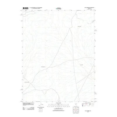
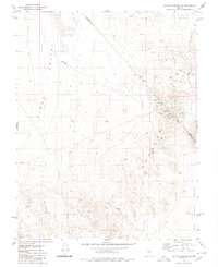
2012 Map of Cole Spring
USGS Topo · Published 2012About this map
Monte Cristo Valley and Cirac Valley dominate this arid landscape in Nye County, showing the characteristic basin and range geography of central Nevada. The area is defined by the high elevations of the Cedar Mountains and the Royston Hills, which frame these broad desert basins. A critical water source in this dry environment, Cole Spring is located in the northeastern corner of the map. The 2012 survey illustrates the sparse road network and the isolation of these mountain ranges, providing a clear view of the natural terrain and the essential hydrology that sustained early travelers and ranching interests in this part of the state.
Find a feature on this map
5 named features on this map. Tap any name to fly to it.
Don’t see what you’re looking for? This feature index may not catch every label — zoom into the map to look around manually.
Map Details
Editions of this 2012 Cole Spring Map
This is the sole edition of this map. No revisions or reprints were ever made.
Other maps of this area

1907 · Tonopah
USGS Topo · 1:250,000

1908 · Tonopah
USGS Topo · 1:250,000

1956 · Tonopah
USGS Topo · 1:250,000

1959 · Tonopah
USGS Topo · 1:250,000

1962 · Tonopah
USGS Topo · 1:250,000
1979 · Simon
USGS Topo · 1:24,000
1980 · Kibby Flat
USGS Topo · 1:24,000

1980 · Cole Spring
USGS Topo · 1:24,000
1980 · Cloverdale Ranch
USGS Topo · 1:24,000
1980 · Outlaw Springs SE
USGS Topo · 1:24,000