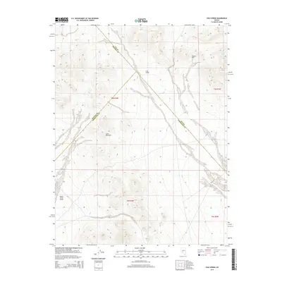
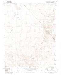
2014 Map of Cole Spring
USGS Topo · Published 2014About this map
Cole Spring serves as a lone water source in this high-desert landscape where the basins and ranges of central Nevada converge. The terrain is dominated by the Cedar Mountains and the Royston Hills, which divide the broad expanses of the Cirac Valley to the north from the Monte Cristo Valley in the southwest. This 2014 survey documents a complex intersection of administrative boundaries, marking the meeting point of Nye, Mineral, and Esmeralda Counties. The map reveals the isolation of these arid valleys, where few roads penetrate the rugged elevations and the land remains largely defined by its natural topography and the legal lines of the Public Land Survey System, including t7n r38e and t6n r39e.
Find a feature on this map
12 named features on this map. Tap any name to fly to it.
Don’t see what you’re looking for? This feature index may not catch every label — zoom into the map to look around manually.
Map Details
Editions of this 2014 Cole Spring Map
This is the sole edition of this map. No revisions or reprints were ever made.
Other maps of this area

1907 · Tonopah
USGS Topo · 1:250,000

1908 · Tonopah
USGS Topo · 1:250,000

1956 · Tonopah
USGS Topo · 1:250,000

1959 · Tonopah
USGS Topo · 1:250,000

1962 · Tonopah
USGS Topo · 1:250,000
1979 · Simon
USGS Topo · 1:24,000
1980 · Kibby Flat
USGS Topo · 1:24,000

1980 · Cole Spring
USGS Topo · 1:24,000
1980 · Cloverdale Ranch
USGS Topo · 1:24,000
1980 · Outlaw Springs SE
USGS Topo · 1:24,000