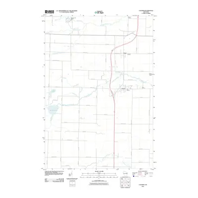
2010 Map of Coleman
USGS Topo · Published 2010About this map
The neighboring villages of Pound and Coleman serve as the primary hubs of this Marinette County landscape, oriented around a network of agricultural roads and waterways. The Little Peshtigo River meanders through the central terrain, while the northern reaches are defined by Murphy Creek, which includes a local infrastructure landmark at the Murphy Creek 3WR223 Dam. This area is particularly rich for family historians, with several established burial grounds including Saint Leos Cemetery, Saint Johns Cemetery, Trinity Cemetery, and Beaver Cemetery distributed across the countryside.
Find a feature on this map
63 named features on this map. Tap any name to fly to it.
Don’t see what you’re looking for? This feature index may not catch every label — zoom into the map to look around manually.
Map Details
Editions of this 2010 Coleman Map
This is the sole edition of this map. No revisions or reprints were ever made.
Other maps of this area

1939 · Porterfield
USGS Topo · 1:48,000

1941 · Coleman
USGS Topo · 1:48,000

1942 · Coleman
USGS Topo · 1:48,000

1942 · Porterfield
USGS Topo · 1:48,000

1950 · Coleman
USGS Topo · 1:48,000

1954 · Iron Mountain
USGS Topo · 1:250,000

1954 · Escanaba
USGS Topo · 1:250,000

1954 · Manitowoc
USGS Topo · 1:250,000

1955 · Green Bay
USGS Topo · 1:250,000

1956 · Oconto
USGS Topo · 1:62,500