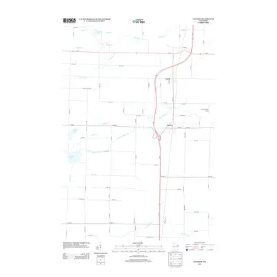
2013 Map of Coleman
USGS Topo · Published 2013About this map
The villages of Pound and Coleman serve as the primary hubs in this Marinette County landscape, connected by the north-south corridor of Us-141 and the Co Hwy-Cp rail line. The terrain is defined by a dense network of watercourses including the Little Peshtigo River and the S Br Beaver Cr, which wind through a grid of rural roads such as Section 8 Church Rd and Lentz Rd. Small water bodies like Montana Lake and Jones Lake dot the western portion of the area.
Find a feature on this map
70 named features on this map. Tap any name to fly to it.
Don’t see what you’re looking for? This feature index may not catch every label — zoom into the map to look around manually.
Map Details
Editions of this 2013 Coleman Map
This is the sole edition of this map. No revisions or reprints were ever made.
Other maps of this area

1939 · Porterfield
USGS Topo · 1:48,000

1941 · Coleman
USGS Topo · 1:48,000

1942 · Coleman
USGS Topo · 1:48,000

1942 · Porterfield
USGS Topo · 1:48,000

1950 · Coleman
USGS Topo · 1:48,000

1954 · Iron Mountain
USGS Topo · 1:250,000

1954 · Escanaba
USGS Topo · 1:250,000

1954 · Manitowoc
USGS Topo · 1:250,000

1955 · Green Bay
USGS Topo · 1:250,000

1956 · Oconto
USGS Topo · 1:62,500