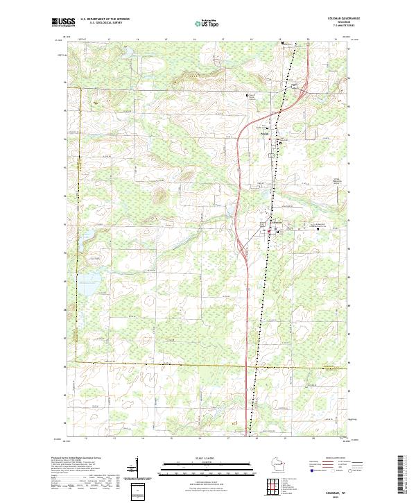
2022 Map of Coleman
USGS Topo · Published 2022About this map
Coleman and Pound serve as the primary population centers on this landscape in Marinette County, positioned along a north-south transit corridor. The map reveals a high concentration of local burial grounds and parish sites, including the Town of Pound Old Cem, Saint Leos Cem, and the Trinity Evangelical Lutheran Church Cem, which are essential markers for genealogists tracing regional family histories. The terrain is defined by a dense network of secondary roads and local lanes such as Goldfield Rd and McArthur Dr that navigate a watery geography of wetlands and streams.
Find a feature on this map
80 named features on this map. Tap any name to fly to it.
Don’t see what you’re looking for? This feature index may not catch every label — zoom into the map to look around manually.
Map Details
Editions of this 2022 Coleman Map
This is the sole edition of this map. No revisions or reprints were ever made.
Other maps of this area

1939 · Porterfield
USGS Topo · 1:48,000

1941 · Coleman
USGS Topo · 1:48,000

1942 · Coleman
USGS Topo · 1:48,000

1942 · Porterfield
USGS Topo · 1:48,000

1950 · Coleman
USGS Topo · 1:48,000

1954 · Iron Mountain
USGS Topo · 1:250,000

1954 · Escanaba
USGS Topo · 1:250,000

1954 · Manitowoc
USGS Topo · 1:250,000

1955 · Green Bay
USGS Topo · 1:250,000

1956 · Oconto
USGS Topo · 1:62,500