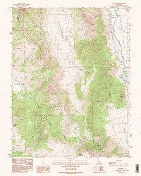
1988 Map of Coleville
USGS Topo · Published 1995About this map
Coleville and Topaz anchor the eastern edge of this high-altitude landscape along the Nevada border, situated where the Antelope Valley meets the rising slopes of the Toiyabe National Forest. The map documents a complex water management system essential for mountain ranching and agriculture, featuring the West Walker River and several artificial channels like Alkali Ditch and Swager Ditch. These waterways supported the small settlements and local industry, including the Golden Gate Mine and various prospects scattered through the steep terrain.
Find a feature on this map
33 named features on this map. Tap any name to fly to it.
Don’t see what you’re looking for? This feature index may not catch every label — zoom into the map to look around manually.
Map Details
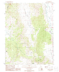
Editions of this 1988 Coleville Map
2 editions found
Other maps of this area

1889 · Markleeville
USGS Topo · 1:125,000

1891 · Markleeville
USGS Topo · 1:125,000

1891 · Wellington
USGS Topo · 1:125,000

1893 · Markleeville
USGS Topo · 1:125,000

1893 · Wellington
USGS Topo · 1:125,000

1896 · Dardanelles
USGS Topo · 1:125,000

1898 · Dardanelles
USGS Topo · 1:125,000

1909 · Bridgeport
USGS Topo · 1:125,000

1911 · Bridgeport
USGS Topo · 1:125,000

1920 · Bridgeport
USGS Topo · 1:125,000