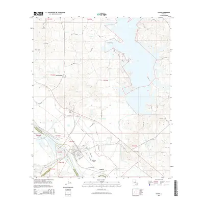
2015 Map of Colfax
USGS Topo · Published 2015About this map
Colfax serves as a focal point on this 2015 survey, situated at the junction of the Red River and the complex bayou systems of Grant Parish. The landscape is defined by the expansive Lake Iatt to the northeast and the meandering channels of the Cane River and Red Bayou to the southwest. This area demonstrates a distinct transition between the low-lying river bottomlands and the slightly higher, wooded terrain where communities like Summerfield and McNeely are established.
Find a feature on this map
99 named features on this map. Tap any name to fly to it.
Don’t see what you’re looking for? This feature index may not catch every label — zoom into the map to look around manually.
Map Details
Editions of this 2015 Colfax Map
This is the sole edition of this map. No revisions or reprints were ever made.
Other maps of this area

1932 · Colfax NE
USGS Topo · 1:31,680

1932 · Boyce NE
USGS Topo · 1:31,680

1932 · Colfax SW
USGS Topo · 1:31,680

1932 · Colfax SE
USGS Topo · 1:31,680

1932 · Colfax NW
USGS Topo · 1:31,680

1935 · Verda
USGS Topo · 1:31,680

1936 · Colfax
USGS Topo · 1:62,500

1937 · Chopin NE
USGS Topo · 1:31,680

1937 · Aloha
USGS Topo · 1:31,680

1937 · Montgomery
USGS Topo · 1:62,500