Loading...
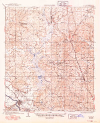
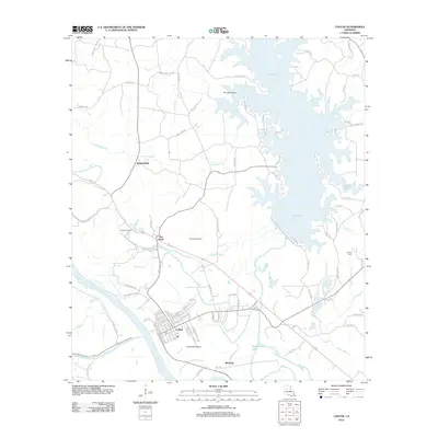
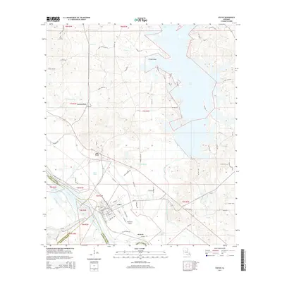
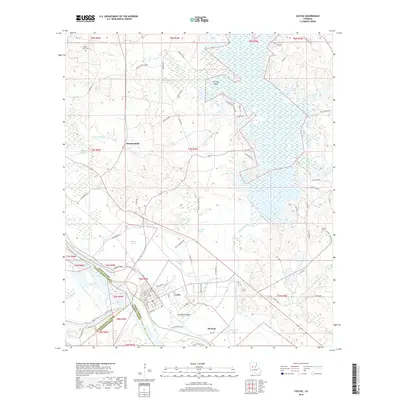
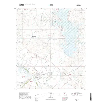
Loading map...1936 Map of Colfax
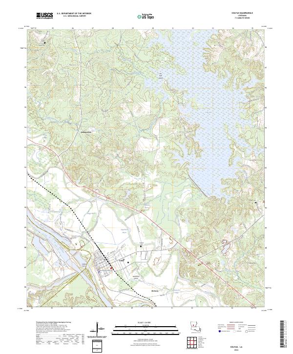
USGS Topo · Published 1949About this map
The Colfax riverfront and the expansive Lake Iatt basin dominate this mid-century portrait of Central Louisiana. Along the Louisiana and Arkansas Railway, small hubs like Dry Prong and McNeely are shown in relation to the timber and resource-heavy landscape of the Kisatchie National Forest. The map documents a rural society anchored by local institutions, including the Hunnance Sch and Oak Grove Sch, alongside numerous country churches such as Zion Hill Ch and Valentine Ch.
Find a feature on this map
84 named features on this map. Tap any name to fly to it.
Don’t see what you’re looking for? This feature index may not catch every label — zoom into the map to look around manually.
Map Details
Date Portrayed1936
Date Published1949
PublisherU.S. Geological Survey
Map TypeTopographic
Scale1:62,500
Physical Dimensions16.9 x 20.7 inches
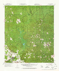
Editions of this 1936 Colfax Map
2 editions found
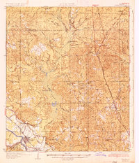
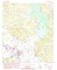
Historical Maps of Colfax Through Time
8 maps found
Featured Locations
Source Details
SourceU.S. Geological Survey
CopyrightPublic Domain