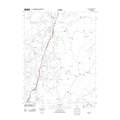
2012 Map of Colfax
USGS Topo · Published 2012About this map
Colfax serves as a central hub in this landscape where the N Fork American River and Bear River carve deep drainages through the Forest Hill Divide. The settlement pattern follows the high ground, with established communities like Weimar, Applegate, and Heather Glen linked by historic transport corridors. Local history is etched into the terrain through names like New England Mills and Shady Glen, while the Colfax Cem stands as a focal point for genealogical research. The map reveals a complex topography of named ravines and points, such as Robbers Ravine and Sore Finger Point, which define the rugged character of the gold country's foothills. Smaller enclaves like John Brown Flat and Eden Valley illustrate the dispersed residential growth that characterizes this portion of Placer County, where private ranch lands like Diamond Heart Ranch meet the steep slopes of Devils Canyon.
Find a feature on this map
169 named features on this map. Tap any name to fly to it.
Don’t see what you’re looking for? This feature index may not catch every label — zoom into the map to look around manually.
Map Details
Editions of this 2012 Colfax Map
This is the sole edition of this map. No revisions or reprints were ever made.
Other maps of this area

1888 · Smartsville
USGS Topo · 1:125,000

1891 · Sacramento
USGS Topo · 1:125,000

1891 · Colfax
USGS Topo · 1:125,000

1891 · Smartsville
USGS Topo · 1:125,000

1891 · Placerville
USGS Topo · 1:125,000

1892 · Sacramento
USGS Topo · 1:125,000

1892 · Placerville
USGS Topo · 1:125,000

1892 · Smartsville
USGS Topo · 1:125,000

1892 · Colfax
USGS Topo · 1:125,000

1893 · Placerville
USGS Topo · 1:125,000