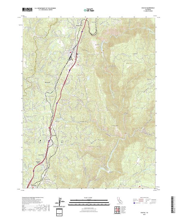
2021 Map of Colfax
USGS Topo · Published 2021About this map
The Union Pacific railroad corridor serves as the primary spine for this portion of Placer County, connecting a string of historical settlements including Colfax, Weimar, Heather Glen, and Applegate. The terrain is defined by deep incisions like Robbers Ravine and Slaughter Ravine, which lead toward the protected North Fork American Wild and Scenic River. This landscape reflects the complex intersection of early California transportation routes and challenging topography, where names like Cape Horn and Iowa Hill Divide speak to the region's pioneering history.
Find a feature on this map
192 named features on this map. Tap any name to fly to it.
Don’t see what you’re looking for? This feature index may not catch every label — zoom into the map to look around manually.
Map Details
Editions of this 2021 Colfax Map
This is the sole edition of this map. No revisions or reprints were ever made.
Other maps of this area

1888 · Smartsville
USGS Topo · 1:125,000

1891 · Sacramento
USGS Topo · 1:125,000

1891 · Colfax
USGS Topo · 1:125,000

1891 · Smartsville
USGS Topo · 1:125,000

1891 · Placerville
USGS Topo · 1:125,000

1892 · Sacramento
USGS Topo · 1:125,000

1892 · Placerville
USGS Topo · 1:125,000

1892 · Smartsville
USGS Topo · 1:125,000

1892 · Colfax
USGS Topo · 1:125,000

1893 · Placerville
USGS Topo · 1:125,000