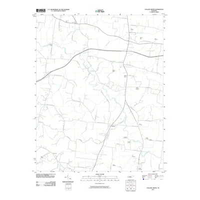
2010 Map of College Grove
USGS Topo · Published 2010About this map
The Harpeth River meanders through this landscape in Middle Tennessee, serving as a central geographic anchor for numerous small family settlements and historic burying grounds. Local centers of community life are marked by the College Grove Post Office and the Arrington Post Office, reflecting the rural postal network of the early 21st century. The terrain is defined by prominent elevations such as Patton Knob and Yancey Knob, while the valley floors are crisscrossed by a dense network of country roads including College Grove Rd and Old Murfreesboro Rd.
Find a feature on this map
66 named features on this map. Tap any name to fly to it.
Don’t see what you’re looking for? This feature index may not catch every label — zoom into the map to look around manually.
Map Details
Editions of this 2010 College Grove Map
This is the sole edition of this map. No revisions or reprints were ever made.
Other maps of this area

1909 · Franklin
USGS Topo · 1:62,500

1936 · Chapel Hill
USGS Topo · 1:24,000

1936 · Rover
USGS Topo · 1:24,000

1936 · Rally Hill
USGS Topo · 1:24,000

1936 · Bethesda
USGS Topo · 1:24,000

1942 · Lebanon
USGS Topo · 1:100,000

1944 · Shelbyville
USGS Topo · 1:100,000

1946 · Bethesda
USGS Topo · 1:24,000
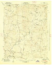
1947 · Rally Hill
USGS Topo · 1:24,000

1949 · Franklin
USGS Topo · 1:24,000