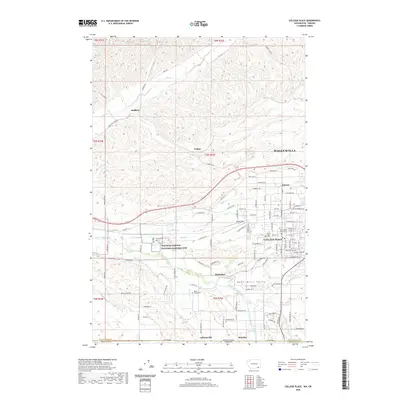
2020 Map of College Place
USGS Topo · Published 2020About this map
Whitman Mission National Historic Site and the Great Grave anchor the historical landscape of the Walla Walla Valley, serving as a focal point for the region's heritage. To the east, College Place and the Walla Walla University campus reflect decades of institutional growth, while the surrounding area transitions into agricultural reaches marked by smaller settlements like Garrett, Mojonnier, and Pedigo. The map follows the winding course of the Walla Walla River and its various tributaries, including Garrison Cr and Mill Creek, which have long defined the irrigation and development patterns of this borderland. Further south, the map captures the jurisdictional boundary between Washington and Oregon, with communities like Stateline and Calhounville situated directly along the interstate divide, illustrating the localized network of roads such as Old Hwy 12 and Frenchtown Rd that connect these rural outposts.
Find a feature on this map
88 named features on this map. Tap any name to fly to it.
Don’t see what you’re looking for? This feature index may not catch every label — zoom into the map to look around manually.
Map Details
Editions of this 2020 College Place Map
This is the sole edition of this map. No revisions or reprints were ever made.
Other maps of this area

1915 · Wallulah
USGS Topo · 1:96,000

1918 · Wallula
USGS Topo · 1:125,000

1919 · Walla Walla
USGS Topo · 1:125,000

1921 · Walla Walla
USGS Topo · 1:125,000

1935 · Pendleton
USGS Topo · 1:125,000

1953 · Pendleton
USGS Topo · 1:250,000

1953 · Walla Walla
USGS Topo · 1:250,000

1956 · Pendleton
USGS Topo · 1:250,000

1958 · Walla Walla
USGS Topo · 1:250,000

1964 · Milton-Freewater
USGS Topo · 1:24,000