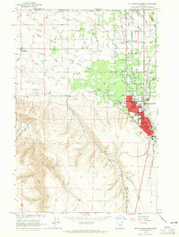
1964 Map of Milton-Freewater
USGS Topo · Published 1965About this map
The Walla Walla Valley serves as a lush agricultural hub along the Oregon-Washington border in the mid-1960s. At the center of the sheet, Milton-Freewater shows its developed core, with streets like W Main St and SE 12th Ave surrounding Central Sch and Mc Loughlin High Sch. The town's industrial and logistical importance is underscored by the convergence of the Union Pacific and Northern Pacific railroads, which parallel the Walla Walla River and its various distributaries, including the West Prong Little Walla Walla River.
Find a feature on this map
69 named features on this map. Tap any name to fly to it.
Don’t see what you’re looking for? This feature index may not catch every label — zoom into the map to look around manually.
Map Details
Editions of this 1964 Milton-Freewater Map
2 editions found
Other maps of this area

1915 · Wallulah
USGS Topo · 1:96,000

1918 · Wallula
USGS Topo · 1:125,000

1919 · Walla Walla
USGS Topo · 1:125,000

1921 · Walla Walla
USGS Topo · 1:125,000

1935 · Pendleton
USGS Topo · 1:125,000

1953 · Pendleton
USGS Topo · 1:250,000

1953 · Walla Walla
USGS Topo · 1:250,000

1956 · Pendleton
USGS Topo · 1:250,000

1958 · Walla Walla
USGS Topo · 1:250,000
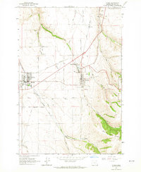
1964 · Athena
USGS Topo · 1:24,000