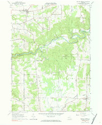
1963 Map of Collins Center
USGS Topo · Published 1984About this map
Cattaraugus Creek carves a deep path through this 1960s landscape, defining the prominent Zoar Valley and Cattaraugus Valley floor. The terrain is marked by significant elevation changes, from the heights of Scrabble Hill and Hebner Hill down to the creek bed. Small rural settlements like Collins Center and East Otto serve as anchor points for a network of winding country roads such as Forty Road and Traffic Street.
Find a feature on this map
51 named features on this map. Tap any name to fly to it.
Don’t see what you’re looking for? This feature index may not catch every label — zoom into the map to look around manually.
Map Details
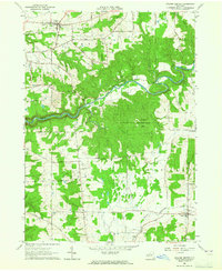
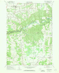
Editions of this 1963 Collins Center Map
Other maps of this area

1905 · Eden
USGS Topo · 1:62,500

1907 · Eden
USGS Topo · 1:62,500

1923 · Cattaraugus
USGS Topo · 1:62,500

1924 · Ellicottville
USGS Topo · 1:62,500

1925 · Springville
USGS Topo · 1:62,500

1938 · Cattaraugus
USGS Topo · 1:62,500

1941 · Cattaraugus
USGS Topo · 1:62,500

1941 · Ellicottville
USGS Topo · 1:62,500

1944 · Eden
USGS Topo · 1:62,500

1944 · North Collins
USGS Topo · 1:31,680