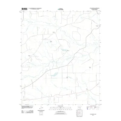
2011 Map of Collins NW
USGS Topo · Published 2011About this map
Old Union Cemetery and Mount Zion Cemetery are central landmarks in this rural corner of Drew County, where a network of gravel and county roads crisscross a landscape defined by significant prairie clearings and meandering waterways. The topography is shaped by the parallel courses of Upper Cutoff Creek and Lower Cutoff Creek, which flow through a region punctuated by broad, named meadows like Cooper Prairie and Tiffin Prairie.
Find a feature on this map
43 named features on this map. Tap any name to fly to it.
Don’t see what you’re looking for? This feature index may not catch every label — zoom into the map to look around manually.
Map Details
Editions of this 2011 Collins NW Map
This is the sole edition of this map. No revisions or reprints were ever made.
Other maps of this area

1935 · Feenyville
USGS Topo · 1:62,500

1935 · Cominto
USGS Topo · 1:62,500

1935 · Rotan
USGS Topo · 1:62,500

1953 · Greenwood
USGS Topo · 1:250,000

1956 · Greenwood
USGS Topo · 1:250,000

1960 · Selma
USGS Topo · 1:24,000

1960 · Collins NW
USGS Topo · 1:24,000

1960 · Collins
USGS Topo · 1:24,000

1960 · Collins
USGS Topo · 1:62,500

1960 · Cominto
USGS Topo · 1:24,000