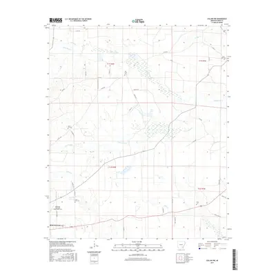
2017 Map of Collins NW
USGS Topo · Published 2017About this map
The Monticello Municipal Airport/Ellis Field and the surrounding rural reaches of Drew County are defined by a complex network of bayous and creeks that drain the coastal plain. The landscape is split between timbered wetlands and small agricultural clearings, with significant water features like Byrd Lake and the winding Upper Cutoff Cr and Lower Cutoff Cr carving through the terrain. A dense web of county roads and family-named routes, such as Jose Chapel-Cutoff Rd and Grizzell Ln, connects these isolated homesteads.
Find a feature on this map
47 named features on this map. Tap any name to fly to it.
Don’t see what you’re looking for? This feature index may not catch every label — zoom into the map to look around manually.
Map Details
Editions of this 2017 Collins NW Map
This is the sole edition of this map. No revisions or reprints were ever made.
Other maps of this area

1935 · Feenyville
USGS Topo · 1:62,500

1935 · Cominto
USGS Topo · 1:62,500

1935 · Rotan
USGS Topo · 1:62,500

1953 · Greenwood
USGS Topo · 1:250,000

1956 · Greenwood
USGS Topo · 1:250,000

1960 · Selma
USGS Topo · 1:24,000

1960 · Collins NW
USGS Topo · 1:24,000

1960 · Collins
USGS Topo · 1:24,000

1960 · Collins
USGS Topo · 1:62,500

1960 · Cominto
USGS Topo · 1:24,000