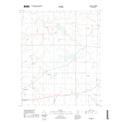
2020 Map of Collins NW
USGS Topo · Published 2020About this map
Monticello anchors the southwestern corner of this Drew County landscape, where the municipal airport, Monticello Municipal Airport/Ellis Field, marks the edge of the town's expansion. The geography is defined by a dense network of watercourses including Upper Cutoff Cr and Lower Cutoff Cr, which weave through the terrain alongside Byrd Lake. These waterways have long shaped the settlement patterns of the region, as evidenced by the distribution of family and community landmarks like Old Union Cem and Mount Zion Cem. Local history is deeply etched into the rural road system, with routes like Jose Chapel-Cutoff Rd and Co Rd 83 connecting these scattered points of interest. The map captures a quiet stretch of Arkansas where timberland and creek bottoms separate the town from rural landmarks such as Mount Tabor Cem and Piney Cem.
Find a feature on this map
49 named features on this map. Tap any name to fly to it.
Don’t see what you’re looking for? This feature index may not catch every label — zoom into the map to look around manually.
Map Details
Editions of this 2020 Collins NW Map
This is the sole edition of this map. No revisions or reprints were ever made.
Other maps of this area

1935 · Feenyville
USGS Topo · 1:62,500

1935 · Cominto
USGS Topo · 1:62,500

1935 · Rotan
USGS Topo · 1:62,500

1953 · Greenwood
USGS Topo · 1:250,000

1956 · Greenwood
USGS Topo · 1:250,000

1960 · Selma
USGS Topo · 1:24,000

1960 · Collins NW
USGS Topo · 1:24,000

1960 · Collins
USGS Topo · 1:24,000

1960 · Collins
USGS Topo · 1:62,500

1960 · Cominto
USGS Topo · 1:24,000