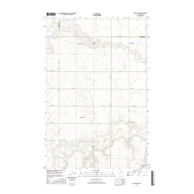
2017 Map of Collins NW
USGS Topo · Published 2017About this map
Teton River and its meandering path define the southern landscape of this high-plains region, where deep erosional features like Antelope Coulee and Government Coulee break the otherwise uniform topography. The map illustrates a meticulously gridded system of rural infrastructure, notably defined by Division Ln and a network of numbered section roads such as 24th Rd NW and 26th Rd NE. The presence of the Eyraud Lakes in the north and the winding course of Muddy Cr indicates the vital role of water drainage in this expansive agricultural terrain. Straddling the border between Teton and Pondera counties, the map captures a modern snapshot of the Public Land Survey System’s enduring influence on Montana’s development, where section lines dictate the placement of local thoroughfares like Shining Mt Rd.
Find a feature on this map
29 named features on this map. Tap any name to fly to it.
Don’t see what you’re looking for? This feature index may not catch every label — zoom into the map to look around manually.
Map Details
Editions of this 2017 Collins NW Map
This is the sole edition of this map. No revisions or reprints were ever made.
Other maps of this area

1886 · Great Falls
USGS Topo · 1:250,000

1920 · Choteau
USGS Topo · 1:125,000

1920 · Dupuyer
USGS Topo · 1:125,000

1920 · Conrad
USGS Topo · 1:125,000

1938 · Gallup City
USGS Topo · 1:62,500

1942 · Gallup City
USGS Topo · 1:62,500

1950 · Collins
USGS Topo · 1:62,500

1954 · Great Falls
USGS Topo · 1:250,000

1954 · Shelby
USGS Topo · 1:250,000

1955 · Choteau
USGS Topo · 1:250,000