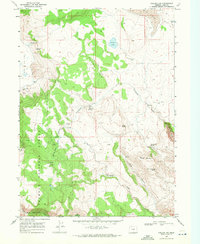
1968 Map of Collins Rim
USGS Topo · Published 1972About this map
Collins Rim dominates this high-desert landscape in Lake County, where scattered outposts like Collins Cabin and Mate Cabin suggest a history of seasonal ranching and line riding. The 1968 survey reveals a network of water sources vital for livestock and survival, ranging from Pope Spring and Dismal Spring to the larger Big Lake in the north. The southwestern portion is occupied by the timbered slopes of the Fremont National Forest, providing a sharp contrast to the open expanse of Big Valley. In the rugged terrain between Round Mountain and the rim, drainage systems like Fifteenmile Creek and Long Canyon carve through the plateau. A solitary Jeep Trail provides the primary access through these remote reaches, connecting isolated camps such as Barley Camp and Frakes Cabin across the high Oregon backcountry.
Find a feature on this map
26 named features on this map. Tap any name to fly to it.
Don’t see what you’re looking for? This feature index may not catch every label — zoom into the map to look around manually.
Map Details
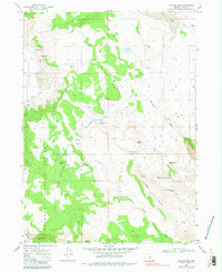
Editions of this 1968 Collins Rim Map
2 editions found
Other maps of this area

1886 · Alturas
USGS Topo · 1:250,000

1889 · Long Valley
USGS Topo · 1:250,000

1892 · Alturas
USGS Topo · 1:250,000

1954 · Vya
USGS Topo · 1:250,000

1954 · Alturas
USGS Topo · 1:250,000

1955 · Klamath Falls
USGS Topo · 1:250,000

1955 · Adel
USGS Topo · 1:250,000

1957 · Adel
USGS Topo · 1:250,000

1958 · Alturas
USGS Topo · 1:250,000

1958 · Klamath Falls
USGS Topo · 1:250,000