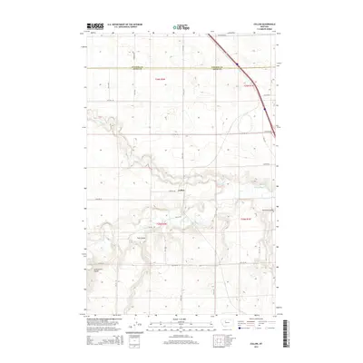
2014 Map of Collins
USGS Topo · Published 2014About this map
Collins sits at the heart of this Teton County landscape, where the high plains meet the intricate drainage systems of the Teton River and Muddy Cr. The map reveals a land structured by the Public Land Survey System, with a rigid grid of rural routes like 22nd Rd NE and 8th Ln NE cutting across the more fluid geography of the river valley. The terrain is defined by its coulees—steep-walled drainage valleys—including Railroad Coulee, Trail Coulee, and Government Coulee, which disrupt the agricultural tableland. This 2014 survey documents the boundary between Pondera and Teton Counties, showing a region where long-established section lines and modern roads, such as Armstrong Rd, coexist with the natural paths of the river and its winding tributaries.
Find a feature on this map
24 named features on this map. Tap any name to fly to it.
Don’t see what you’re looking for? This feature index may not catch every label — zoom into the map to look around manually.
Map Details
Editions of this 2014 Collins Map
This is the sole edition of this map. No revisions or reprints were ever made.
Other maps of this area

1886 · Great Falls
USGS Topo · 1:250,000

1920 · Conrad
USGS Topo · 1:125,000

1950 · Dutton
USGS Topo · 1:62,500

1950 · Collins
USGS Topo · 1:62,500

1954 · Great Falls
USGS Topo · 1:250,000

1954 · Shelby
USGS Topo · 1:250,000

1957 · Great Falls
USGS Topo · 1:250,000

1958 · Shelby
USGS Topo · 1:250,000

1967 · Brady
USGS Topo · 1:24,000

1967 · Fowler Coulee SW
USGS Topo · 1:24,000