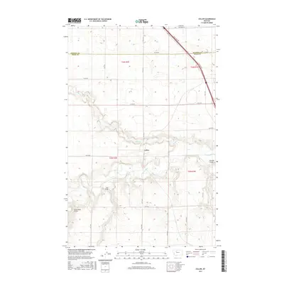
2017 Map of Collins
USGS Topo · Published 2017About this map
The Collins settlement serves as the focal point of this Teton County landscape, situated near the confluence of local water systems and transportation corridors. The terrain is deeply defined by the winding course of the Teton River and its tributary, Muddy Cr, which carve through the plains. The erosion patterns have created distinctive geological features such as Railroad Coulee, Trail Coulee, and Government Coulee, illustrating the complex drainage systems that shaped the region's topography.
Find a feature on this map
20 named features on this map. Tap any name to fly to it.
Don’t see what you’re looking for? This feature index may not catch every label — zoom into the map to look around manually.
Map Details
Editions of this 2017 Collins Map
This is the sole edition of this map. No revisions or reprints were ever made.
Other maps of this area

1886 · Great Falls
USGS Topo · 1:250,000

1920 · Conrad
USGS Topo · 1:125,000

1950 · Dutton
USGS Topo · 1:62,500

1950 · Collins
USGS Topo · 1:62,500

1954 · Great Falls
USGS Topo · 1:250,000

1954 · Shelby
USGS Topo · 1:250,000

1957 · Great Falls
USGS Topo · 1:250,000

1958 · Shelby
USGS Topo · 1:250,000

1967 · Brady
USGS Topo · 1:24,000

1967 · Fowler Coulee SW
USGS Topo · 1:24,000