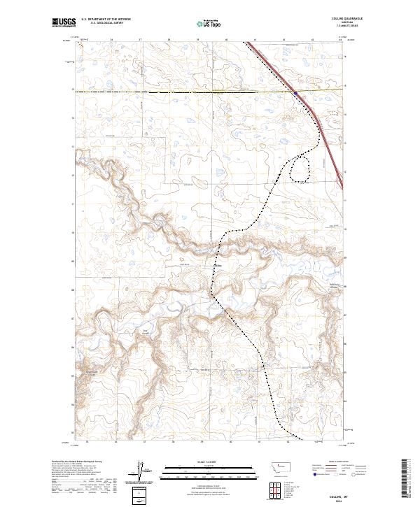
2024 Map of Collins
USGS Topo · Published 2024About this map
Collins sits at the heart of this Montana landscape, where the seasonal hydrology and early transport corridors define the Teton County and Pondera County borderlands. The meandering path of Muddy Creek flows from the northwest, carving through the central terrain before meeting the Teton River in the south. This confluence area is marked by sharp topographic relief, including Railroad Coulee and Trail Coulee, which suggest the historic difficulty of navigating this stretch of the plains.
Find a feature on this map
27 named features on this map. Tap any name to fly to it.
Don’t see what you’re looking for? This feature index may not catch every label — zoom into the map to look around manually.
Map Details
Editions of this 2024 Collins Map
This is the sole edition of this map. No revisions or reprints were ever made.
Other maps of this area

1886 · Great Falls
USGS Topo · 1:250,000

1920 · Conrad
USGS Topo · 1:125,000

1950 · Dutton
USGS Topo · 1:62,500

1950 · Collins
USGS Topo · 1:62,500

1954 · Great Falls
USGS Topo · 1:250,000

1954 · Shelby
USGS Topo · 1:250,000

1957 · Great Falls
USGS Topo · 1:250,000

1958 · Shelby
USGS Topo · 1:250,000

1967 · Brady
USGS Topo · 1:24,000

1967 · Fowler Coulee SW
USGS Topo · 1:24,000