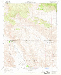
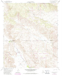
1959 Map of Collins Valley
USGS Topo · Published 1969About this map
Anza - Borrego Desert State Park dominates this mid-century landscape where the Riverside and San Diego county line traverses arid canyons and steep ridges. The survey illustrates a terrain defined by seasonal drainage and isolated springs, centered on the broad expanse of Collins Valley. The Anza Trail and various Jeep Trails provide the primary access through this remote environment, connecting small riparian oases like Middle Willows and Lower Willows. To the north, the Santa Rosa Mts rise sharply, dissected by Alder Canyon and Nicholas Canyon. The presence of numerous bench marks and vertical angle bench marks, such as Vabm 3433 and Vabm 1837, indicates the detailed topographic work required to map this complex system of alluvial fans and rocky outcrops, including the prominent Monkey Hill and the desolate Jackass Flat.
Find a feature on this map
33 named features on this map. Tap any name to fly to it.
Don’t see what you’re looking for? This feature index may not catch every label — zoom into the map to look around manually.
Map Details
Editions of this 1959 Collins Valley Map
5 editions found
Other maps of this area

1901 · Southern California Sheet No. 1
USGS Topo · 1:250,000

1901 · San Jacinto
USGS Topo · 1:125,000

1903 · Ramona
USGS Topo · 1:125,000

1904 · Indio
USGS Topo · 1:125,000

1904 · Southern California Sheet No. 2
USGS Topo · 1:250,000

1904 · Southern California Sheet No. 1
USGS Topo · 1:250,000

1931 · Vallecito
USGS Topo · 1:125,000

1939 · Warner Springs
USGS Topo · 1:62,500

1940 · Hemet Reservoir
USGS Topo · 1:62,500

1941 · Toro Peak
USGS Topo · 1:62,500