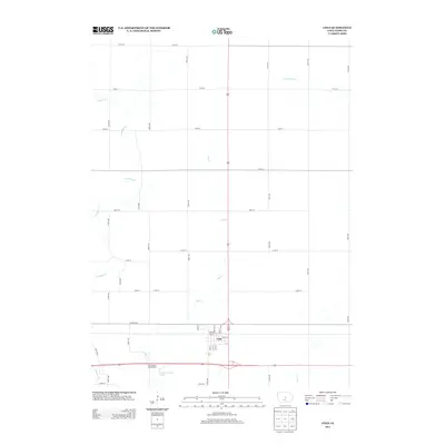
2013 Map of Colo
USGS Topo · Published 2013About this map
Colo centers this Iowa landscape, showing a grid of residential streets just north of the major highway junction. The town’s historical identity as a crossroads is evident where the iconic Lincoln Hwy meets the north-south corridor of Highway 65. The local geography is defined by a dendritic network of small waterways including Dye Cr, S Minerva Cr, and E Indian Cr, which cut through the surrounding agricultural sections. To the southwest of the main settlement, the Twin Anchors Lake and the adjacent Twin Anchors Campground provide a primary recreation point for the community. The map preserves the specific street names of the town's core, such as Main St, Warner St, and Bailey St, offering a clear view of the town's footprint in the early 21st century.
Find a feature on this map
40 named features on this map. Tap any name to fly to it.
Don’t see what you’re looking for? This feature index may not catch every label — zoom into the map to look around manually.
Map Details
Editions of this 2013 Colo Map
This is the sole edition of this map. No revisions or reprints were ever made.
Other maps of this area

1954 · Waterloo
USGS Topo · 1:250,000

1954 · Des Moines
USGS Topo · 1:250,000

1955 · Waterloo
USGS Topo · 1:250,000

1956 · Des Moines
USGS Topo · 1:250,000

1957 · Des Moines
USGS Topo · 1:250,000

1969 · Des Moines
USGS Topo · 1:250,000

1975 · Nevada
USGS Topo · 1:24,000

1975 · State Center NW
USGS Topo · 1:24,000

1975 · State Center
USGS Topo · 1:24,000

1975 · Rhodes
USGS Topo · 1:24,000