
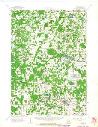
1958 Map of Coloma
USGS Topo · Published 1960About this map
The central Wisconsin sand plains are revealed here in a period of agricultural and transportation transition. Small rural settlements like Plainfield, Hancock, and Coloma serve as the primary hubs, linked by the north-south corridor of the Chicago and North Western railroad. The landscape is a network of township lines and section grids, punctuated by local landmarks like Owens Rock and Keystone Rock.
Find a feature on this map
45 named features on this map. Tap any name to fly to it.
Don’t see what you’re looking for? This feature index may not catch every label — zoom into the map to look around manually.
Map Details
Editions of this 1958 Coloma Map
This is the sole edition of this map. No revisions or reprints were ever made.
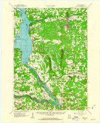
Other maps of this area

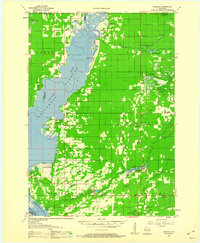
1955 · Green Bay
USGS Topo · 1:250,000
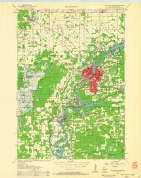
1957 · Wisconsin Rapids
USGS Topo · 1:48,000
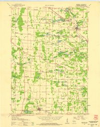
1957 · Amherst
USGS Topo · 1:48,000

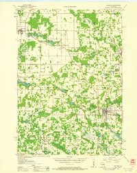
1957 · Whiting
USGS Topo · 1:48,000

1957 · Madison
USGS Topo · 1:250,000
1958 · Arkdale
USGS Topo · 1:48,000
1959 · Wautoma
USGS Topo · 1:48,000

1960 · Madison
USGS Topo · 1:250,000
1961 · Oxford
USGS Topo · 1:62,500
1961 · Adams
USGS Topo · 1:62,500