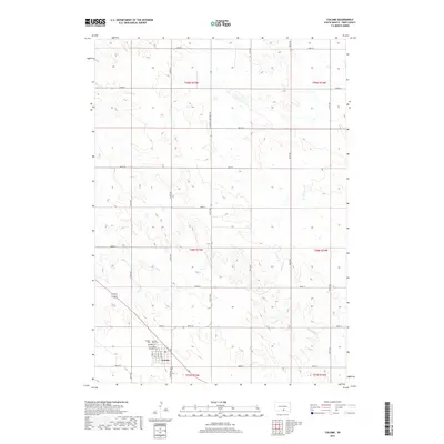
2017 Map of Colome
USGS Topo · Published 2017About this map
Colome serves as the primary focal point of this Tripp County survey, situated at the intersection of S Dakota Highway 49 and several local routes including Boyd St and Sullivan St. The town's local history and genealogy are anchored by a trio of burial grounds on its northern edge: Colome Cem, the Colome IOOF Cem, and the Saint Isidore Catholic Cem. These sites provide critical points of reference for researchers tracing the early families of this agricultural region.
Find a feature on this map
27 named features on this map. Tap any name to fly to it.
Don’t see what you’re looking for? This feature index may not catch every label — zoom into the map to look around manually.
Map Details
Editions of this 2017 Colome Map
This is the sole edition of this map. No revisions or reprints were ever made.
Other maps of this area

1955 · Mitchell
USGS Topo · 1:250,000

1959 · Mitchell
USGS Topo · 1:250,000

1964 · Dallas
USGS Topo · 1:24,000

1964 · Dallas NW
USGS Topo · 1:24,000

1971 · Colome
USGS Topo · 1:24,000

1971 · Rattlesnake Butte East
USGS Topo · 1:24,000

1971 · Rattlesnake Butte West
USGS Topo · 1:24,000

1971 · Colome SE
USGS Topo · 1:24,000

1982 · Winner North
USGS Topo · 1:25,000

1982 · Winner South
USGS Topo · 1:25,000