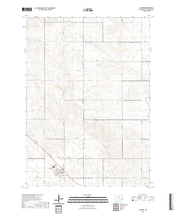
2021 Map of Colome
USGS Topo · Published 2021About this map
Colome serves as the primary hub of this South Dakota landscape, where the local street grid including Main St and Sullivan St meets the section lines of the surrounding prairie. The town's historical roots are anchored on its southern edge by a cluster of three distinct burial grounds: the Colome Cem, Colome IOOF Cem, and the Saint Isidore Catholic Cem. These sites provide critical data for genealogists tracing families in Tripp County. Beyond the town limits, the terrain is defined by a dense network of numbered section roads and the meandering path of W Br Bull Cr in the southeast. S Dakota Highway 49 bisects the quadrangle, serving as the modern corridor through the township boundaries of T98N R75W and T98N R74W.
Find a feature on this map
33 named features on this map. Tap any name to fly to it.
Don’t see what you’re looking for? This feature index may not catch every label — zoom into the map to look around manually.
Map Details
Editions of this 2021 Colome Map
This is the sole edition of this map. No revisions or reprints were ever made.
Other maps of this area

1955 · Mitchell
USGS Topo · 1:250,000

1959 · Mitchell
USGS Topo · 1:250,000

1964 · Dallas
USGS Topo · 1:24,000

1964 · Dallas NW
USGS Topo · 1:24,000

1971 · Colome
USGS Topo · 1:24,000

1971 · Rattlesnake Butte East
USGS Topo · 1:24,000

1971 · Rattlesnake Butte West
USGS Topo · 1:24,000

1971 · Colome SE
USGS Topo · 1:24,000

1982 · Winner North
USGS Topo · 1:25,000

1982 · Winner South
USGS Topo · 1:25,000