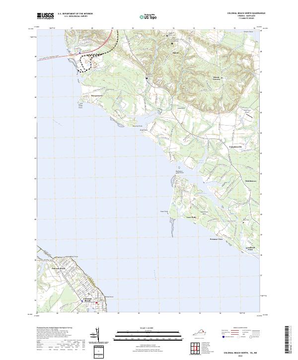
2022 Map of Colonial Beach North
USGS Topo · Published 2022About this map
The Potomac River dominates this landscape where Maryland and Virginia meet, illustrating the complex shoreline of the lower Potomac. On the Virginia side, the town of Colonial Beach and nearby Potomac Beach anchor the southern reaches, while the Gov Harry Nice Memorial Brg provides a critical crossing to the north. The Maryland interior, primarily within Charles Co according to the boundary labels, is dotted with crossroads communities such as Shiloh, Mount Victoria, and Middletown. For genealogists and local historians, the presence of several established burial sites like Old Christ Church Cem and Good Hope Baptist Church Cem offers specific points of interest. The area's maritime and aviation character is highlighted by numerous geographic points like Swan Point and the presence of the Pilots Cove Airport near Cobb Neck.
Find a feature on this map
138 named features on this map. Tap any name to fly to it.
Don’t see what you’re looking for? This feature index may not catch every label — zoom into the map to look around manually.
Map Details
Editions of this 2022 Colonial Beach North Map
This is the sole edition of this map. No revisions or reprints were ever made.
Other maps of this area

1889 · Fredericksburg
USGS Topo · 1:125,000

1892 · Fredericksburg
USGS Topo · 1:125,000

1892 · Montross
USGS Topo · 1:62,500

1894 · Wicomico
USGS Topo · 1:62,500

1894 · Fredericksburg
USGS Topo · 1:125,000

1895 · Wicomico
USGS Topo · 1:62,500

1895 · Nomini
USGS Topo · 1:125,000

1895 · Montross
USGS Topo · 1:62,500

1898 · Nomini
USGS Topo · 1:125,000

1902 · Wicomico
USGS Topo · 1:62,500