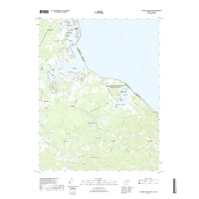
2019 Map of Colonial Beach South
USGS Topo · Published 2019About this map
The George Washington Birthplace National Monument dominates the shoreline of this Northern Neck peninsula, preserving the coastal landscape where the nation's first president was born. Along the jagged waterfront of the Potomac River, intricate shorelines define points and coves like Winkedoodle Point and Columbia Cove. The interior is a dense network of tidal wetlands and swamps, including Popes Creek Swamp and The Big Swamp, which transition into the agricultural and wooded uplands of Westmoreland County.
Find a feature on this map
144 named features on this map. Tap any name to fly to it.
Don’t see what you’re looking for? This feature index may not catch every label — zoom into the map to look around manually.
Map Details
Editions of this 2019 Colonial Beach South Map
This is the sole edition of this map. No revisions or reprints were ever made.
Other maps of this area

1889 · Fredericksburg
USGS Topo · 1:125,000

1892 · Fredericksburg
USGS Topo · 1:125,000

1892 · Montross
USGS Topo · 1:62,500

1894 · Wicomico
USGS Topo · 1:62,500

1894 · Fredericksburg
USGS Topo · 1:125,000

1895 · Wicomico
USGS Topo · 1:62,500

1895 · Nomini
USGS Topo · 1:125,000

1895 · Montross
USGS Topo · 1:62,500

1898 · Nomini
USGS Topo · 1:125,000

1902 · Wicomico
USGS Topo · 1:62,500