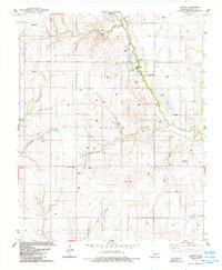
1984 Map of Colony
USGS Topo · Published 1985About this map
Colony serves as a focal point for this section of Washita County, situated where the terrain begins to slope toward Cobb Creek. The settlement is home to the Washita Heights Sch and a local Park, reflecting a community structured around its civic institutions. The surrounding landscape, characterized by the Seger territory, is deeply rooted in local and tribal history, evidenced by the presence of several burial sites including the Indian Cem and Vandyke Cem.
Find a feature on this map
24 named features on this map. Tap any name to fly to it.
Don’t see what you’re looking for? This feature index may not catch every label — zoom into the map to look around manually.
Map Details
Editions of this 1984 Colony Map
This is the sole edition of this map. No revisions or reprints were ever made.
Other maps of this area

1955 · Clinton
USGS Topo · 1:250,000

1956 · Cordell
USGS Topo · 1:62,500

1957 · Clinton
USGS Topo · 1:250,000

1961 · Gotebo
USGS Topo · 1:62,500

1961 · Eakly
USGS Topo · 1:62,500

1961 · Carnegie
USGS Topo · 1:62,500
1983 · Corn
USGS Topo · 1:24,000

1983 · Cloud Chief
USGS Topo · 1:24,000

1984 · Eakly
USGS Topo · 1:24,000
1984 · Cowden
USGS Topo · 1:24,000