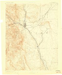
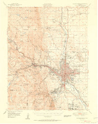
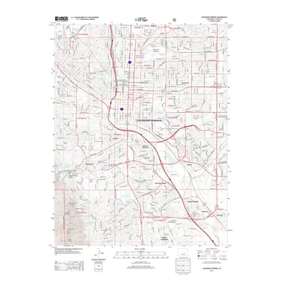
1893 Map of Colorado Springs
USGS Topo · Published 1898About this map
Colorado Springs serves as the central hub of this 1889 survey, where the transition from the high plains to the Front Range is captured in sharp detail. The map highlights the early railroad boom, showing the convergence of major lines like the Atchison Topeka and Santa Fe Railroad and the Chicago Rock Island and Pacific Railroad. To the west, the landscape rises toward Cameron Cone and Cheyenne Mt, featuring early tourism and transportation landmarks such as the Manitou and Pikes Peak RR (Cogwheel) and the Garden of the Gods.
Find a feature on this map
51 named features on this map. Tap any name to fly to it.
Don’t see what you’re looking for? This feature index may not catch every label — zoom into the map to look around manually.
Map Details
Editions of this 1893 Colorado Springs Map
2 editions found

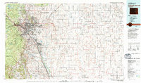
Historical Maps of Colorado Springs Through Time
14 maps found
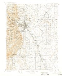
1893 Colorado Springs
El Paso County, CO
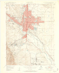
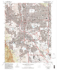
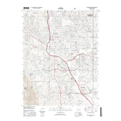
1909 Colorado Springs
El Paso County, CO

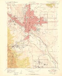
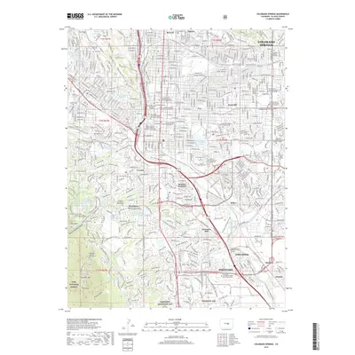
1942 Colorado Springs
El Paso County, CO

1948 Colorado Springs
El Paso County, CO
1948 Colorado Springs
El Paso County, CO
1950 Colorado Springs
El Paso County, CO
1951 Colorado Springs
El Paso County, CO
1961 Colorado Springs
El Paso County, CO
1981 Colorado Springs
El Paso County, CO
2011 Colorado Springs
El Paso County, CO
2013 Colorado Springs
El Paso County, CO
2016 Colorado Springs
El Paso County, CO
2019 Colorado Springs
El Paso County, CO
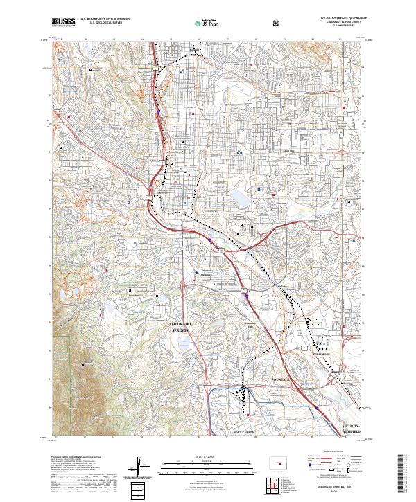
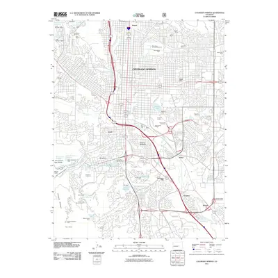
2023 Colorado Springs
El Paso County, CO