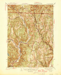
1946 Map of Colrain
USGS Topo · Published 1946About this map
The North River and its various branches carve through the highlands of northern Franklin Co, Massachusetts, and southern Vermont in the years following World War II. Industrial activity and small-scale settlement concentrate along the river's path, notably in Griswoldville and Shattuckville, where the water power of the West Branch North River and East Branch North River historically fueled local mills. The landscape is dotted with early defensive history, marked by the Site of Fort Morris and the Site of Fort Lucas, which point to the colonial frontier roots of the Colrain and Leyden townships.
Find a feature on this map
103 named features on this map. Tap any name to fly to it.
Don’t see what you’re looking for? This feature index may not catch every label — zoom into the map to look around manually.
Map Details
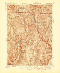
Editions of this 1946 Colrain Map
2 editions found
Other maps of this area

1886 · Hawley
USGS Topo · 1:62,500

1889 · Wilmington
USGS Topo · 1:62,500

1890 · Hawley
USGS Topo · 1:62,500

1890 · Greenfield
USGS Topo · 1:62,500

1891 · Wilmington
USGS Topo · 1:62,500

1891 · Brattleboro
USGS Topo · 1:62,500

1893 · Brattleboro
USGS Topo · 1:62,500

1894 · Greenfield
USGS Topo · 1:62,500

1894 · Hawley
USGS Topo · 1:62,500

1899 · Wilmington
USGS Topo · 1:62,500