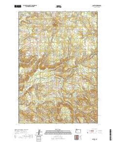
2020 Map of Colton
USGS Topo · Published 2020About this map
Colton and its rural surroundings in Clackamas County are defined by a complex network of small creeks and valleys that have shaped local settlement for generations. The transition from the older center at Old Colton to the modern community is visible alongside landmarks of local heritage like the Colton Lutheran Cem and Bonney Cem. The landscape rises from the drainage of Milk Cr toward prominent heights such as Highland Butte and Big Hill. Significant water management is evident through numerous private and public catchments, including Swanson Reservoir, Karney Reservoir, and the Cedar Cr Reservoir. This contemporary survey reveals how historical hamlets like Clarkes, Timber Grove, and Cedardale persist as distinct nodes within the forested upland terrain south of the Clackamas River watershed.
Find a feature on this map
100 named features on this map. Tap any name to fly to it.
Don’t see what you’re looking for? This feature index may not catch every label — zoom into the map to look around manually.
Map Details
Editions of this 2020 Colton Map
This is the sole edition of this map. No revisions or reprints were ever made.
Other maps of this area

1911 · Boring
USGS Topo · 1:48,000

1914 · Boring
USGS Topo · 1:62,500

1914 · Oregon City
USGS Topo · 1:62,500

1916 · Estacada
USGS Topo · 1:125,000

1939 · Molalla
USGS Topo · 1:62,500

1939 · Oregon City
USGS Topo · 1:62,500

1940 · Molalla
USGS Topo · 1:62,500

1940 · Boring
USGS Topo · 1:62,500

1941 · Oregon City
USGS Topo · 1:62,500

1948 · Vancouver
USGS Topo · 1:250,000