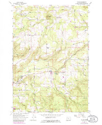
1955 Map of Colton
USGS Topo · Published 1985About this map
Colton and Old Colton anchor this mid-century Clackamas County landscape, where the foothills meet a complex system of drainage and small-scale industry. The presence of multiple Millpond labels along Buckner Creek, Nate Creek, and Milk Creek points to a legacy of timber processing and local water management. To the north, the upland settlements of Highland and Upper Highland sit near Highland Butte, while the southern reaches are dominated by the significant elevation of Big Hill and the lower-lying Green Mountain. This period shows a well-established network of rural communities, including Timber Grove and Clarkes, connected by early routes such as Unger Road and Dhooge Road. The map also captures specialized land uses like Camp Colton, featuring its own Swimming Pool, and Camp Adams, reflecting the area's role as a recreational and community hub for the region.
Find a feature on this map
33 named features on this map. Tap any name to fly to it.
Don’t see what you’re looking for? This feature index may not catch every label — zoom into the map to look around manually.
Map Details
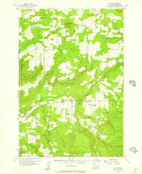
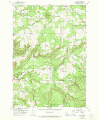
Editions of this 1955 Colton Map
3 editions found
Other maps of this area

1911 · Boring
USGS Topo · 1:48,000

1914 · Boring
USGS Topo · 1:62,500

1914 · Oregon City
USGS Topo · 1:62,500

1916 · Estacada
USGS Topo · 1:125,000

1939 · Molalla
USGS Topo · 1:62,500

1939 · Oregon City
USGS Topo · 1:62,500

1940 · Molalla
USGS Topo · 1:62,500

1940 · Boring
USGS Topo · 1:62,500

1941 · Oregon City
USGS Topo · 1:62,500

1948 · Vancouver
USGS Topo · 1:250,000