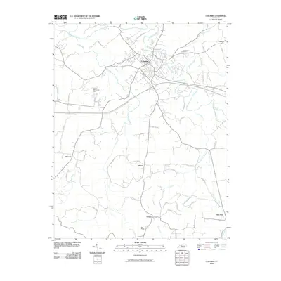
2010 Map of Columbia
USGS Topo · Published 2010About this map
Columbia serves as the central hub of this Adair County landscape, situated at the confluence of several key waterways including Russell Creek and its tributary, Pettus Fork. The town's modern infrastructure is anchored by the Columbia-Adair County Airport to the west and the high-speed transit corridor of the Cumberland Pkwy cutting across the central terrain. The map details a transition from the urban grid of the county seat to the surrounding agricultural uplands of Green Hills and Earl Ridge.
Find a feature on this map
62 named features on this map. Tap any name to fly to it.
Don’t see what you’re looking for? This feature index may not catch every label — zoom into the map to look around manually.
Map Details
Editions of this 2010 Columbia Map
This is the sole edition of this map. No revisions or reprints were ever made.
Other maps of this area

1953 · Gradyville
USGS Topo · 1:24,000

1953 · Breeding
USGS Topo · 1:24,000

1953 · Amandaville
USGS Topo · 1:24,000

1953 · Montpelier
USGS Topo · 1:24,000

1953 · Gresham
USGS Topo · 1:24,000

1953 · Creelsboro
USGS Topo · 1:24,000

1953 · Cane Valley
USGS Topo · 1:24,000

1954 · Knifley
USGS Topo · 1:24,000

1954 · Columbia
USGS Topo · 1:24,000

1956 · Corbin
USGS Topo · 1:250,000