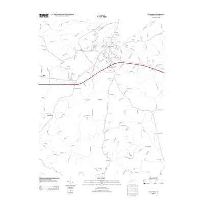
2013 Map of Columbia
USGS Topo · Published 2013About this map
Columbia serves as the central hub of this Adair County landscape, where the confluence of Russell Cr and Sulphur Cr shapes the northern topography. The map illustrates a transitional period of infrastructure, showing the modern path of the Cumberland Pkwy E bisecting the countryside. Beyond the municipal center, the area is defined by a network of smaller rural communities including Fairplay, Flatwood, and Glens Fork. Genealogists and local historians will find value in the precise location of the New Columbia Cem and several smaller family-named roads such as Loy Cemetery Rd. The terrain is characterized by the complex drainage systems of Pettys Fork and Brush Cr, while the Columbia-Adair County Airport highlights the region's mid-century aviation development.
Find a feature on this map
24 named features on this map. Tap any name to fly to it.
Don’t see what you’re looking for? This feature index may not catch every label — zoom into the map to look around manually.
Map Details
Editions of this 2013 Columbia Map
This is the sole edition of this map. No revisions or reprints were ever made.
Other maps of this area

1953 · Gradyville
USGS Topo · 1:24,000

1953 · Breeding
USGS Topo · 1:24,000

1953 · Amandaville
USGS Topo · 1:24,000

1953 · Montpelier
USGS Topo · 1:24,000

1953 · Gresham
USGS Topo · 1:24,000

1953 · Creelsboro
USGS Topo · 1:24,000

1953 · Cane Valley
USGS Topo · 1:24,000

1954 · Knifley
USGS Topo · 1:24,000

1954 · Columbia
USGS Topo · 1:24,000

1956 · Corbin
USGS Topo · 1:250,000