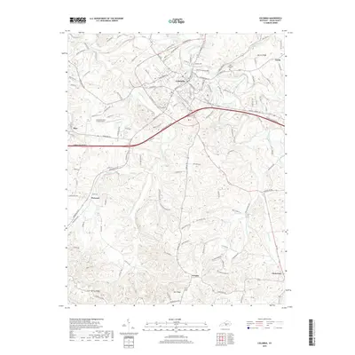
2019 Map of Columbia
USGS Topo · Published 2019About this map
Columbia serves as the central hub of this South Central Kentucky landscape, where the modern corridor of the Cumberland Parkway and the Columbia Byp intersect with long-established regional routes. The town is characterized by a dense grid of streets such as Greensburg St and Jamestown St, extending toward neighborhoods like Bomar Hts. The surrounding terrain is defined by the winding course of Russell Creek and its many tributaries, including Pettus Fork and Bull Run Cr.
Find a feature on this map
129 named features on this map. Tap any name to fly to it.
Don’t see what you’re looking for? This feature index may not catch every label — zoom into the map to look around manually.
Map Details
Editions of this 2019 Columbia Map
This is the sole edition of this map. No revisions or reprints were ever made.
Other maps of this area

1953 · Gradyville
USGS Topo · 1:24,000

1953 · Breeding
USGS Topo · 1:24,000

1953 · Amandaville
USGS Topo · 1:24,000

1953 · Montpelier
USGS Topo · 1:24,000

1953 · Gresham
USGS Topo · 1:24,000

1953 · Creelsboro
USGS Topo · 1:24,000

1953 · Cane Valley
USGS Topo · 1:24,000

1954 · Knifley
USGS Topo · 1:24,000

1954 · Columbia
USGS Topo · 1:24,000

1956 · Corbin
USGS Topo · 1:250,000