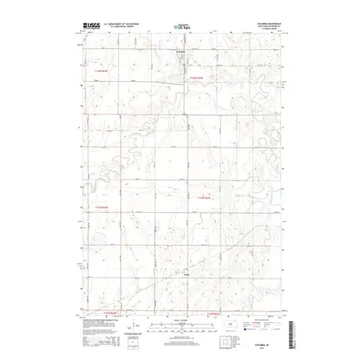
2015 Map of Columbia
USGS Topo · Published 2015About this map
The confluence of the Elm River and the James River dominates this Brown County landscape, where the town of Columbia serves as a primary point of interest. This 2015 survey reveals the intricate meandering patterns of these watercourses as they wind through a grid of agricultural section lines and rural roads. The street plan of Columbia is clearly defined, featuring local thoroughfares like N Broadway St, N James St, and Stella St. To the south, the smaller settlement of Plana sits along the section corner of 129th St and 397th Ave. The map provides a precise layout of the rural transportation network, including Cr-11, Roetelle Rd, and a series of numbered avenues and streets that facilitate access to the surrounding farmsteads. This topographical record is particularly valuable for documenting the modern footprint of these prairie communities and the evolving hydrology of the James River valley.
Find a feature on this map
35 named features on this map. Tap any name to fly to it.
Don’t see what you’re looking for? This feature index may not catch every label — zoom into the map to look around manually.
Map Details
Editions of this 2015 Columbia Map
This is the sole edition of this map. No revisions or reprints were ever made.
Other maps of this area

1894 · Columbia
USGS Topo · 1:62,500

1895 · Aberdeen
USGS Topo · 1:125,000

1896 · Columbia
USGS Topo · 1:125,000

1952 · Columbia
USGS Topo · 1:24,000

1952 · Ordway
USGS Topo · 1:24,000

1952 · Columbia NE
USGS Topo · 1:24,000

1952 · Westport
USGS Topo · 1:24,000

1952 · Putney
USGS Topo · 1:24,000

1954 · Bath
USGS Topo · 1:24,000

1954 · James
USGS Topo · 1:24,000