2021 Map of Columbia
USGS Topo · Published 2021About this map
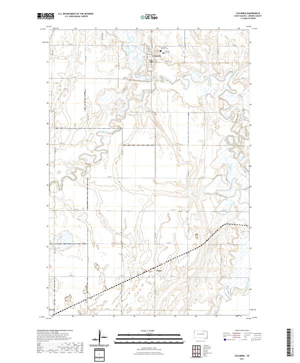
The confluence of the James River and Elm River defines the landscape of this Brown County region, where the town of Columbia sits at the northern edge of a complex network of wetlands and river bends. The map details the local infrastructure of the early 21st century, including the grid of township roads such as Roettele Rd and 396th Ave that carve through the agricultural sections. In the northern part of the map, the Columbia City Cem and Columbia Catholic Cem serve as vital landmarks for genealogists and family historians researching the settlement history of northern South Dakota. To the south, the small community of Plana appears along 129th St, situated within the expansive glacial lakebed that characterizes the James River Valley. The intricate water patterns shown here illustrate the seasonal hydrology of the region, where the winding river channels create a distinct patchwork of ponds and marshland across the prairie.
Find a feature on this map
34 named features on this map. Tap any name to fly to it.
Don’t see what you’re looking for? This feature index may not catch every label — zoom into the map to look around manually.
Map Details
Editions of this 2021 Columbia Map
This is the sole edition of this map. No revisions or reprints were ever made.
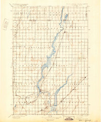
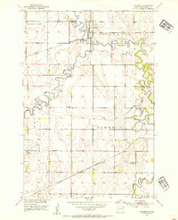
Historical Maps of Cambria Township Through Time
4 maps found

Featured Locations
- Bath Township, SD
- Garland Township, SD
- Cambria Township, SD
- Columbia, Columbia Township
- Plana, Cambria Township