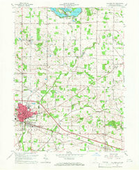
1965 Map of Columbia City
USGS Topo · Published 1966About this map
Columbia City serves as the mid-1960s focal point of this Whitley County survey, featuring a downtown detailed with the Courthouse, Museum, and County Hospital. The Pennsylvania railroad cuts through the heart of the city, illustrating the transportation network that historically supported the local economy. North of the urban center, the landscape shifts toward the water-rich recreation area of Tri-Lakes, where Shriner Lake, Cedar Lake, and Round Lake are prominent.
Find a feature on this map
54 named features on this map. Tap any name to fly to it.
Don’t see what you’re looking for? This feature index may not catch every label — zoom into the map to look around manually.
Map Details
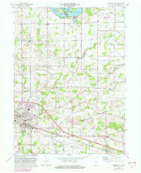
Editions of this 1965 Columbia City Map
2 editions found
Other maps of this area

1951 · Ormas
USGS Topo · 1:24,000

1951 · Merriam
USGS Topo · 1:24,000

1953 · Fort Wayne
USGS Topo · 1:250,000

1955 · Columbia City
USGS Topo · 1:24,000

1955 · Ege
USGS Topo · 1:24,000

1956 · Fort Wayne
USGS Topo · 1:250,000

1956 · Lorane
USGS Topo · 1:24,000

1957 · Churubusco
USGS Topo · 1:24,000

1961 · Arcola
USGS Topo · 1:24,000
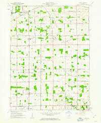
1961 · Laud
USGS Topo · 1:24,000