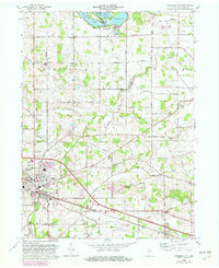
1965 Map of Columbia City
USGS Topo · Published 1982About this map
Columbia City serves as the primary hub of this northern Indiana landscape, where the confluence of the Blue River and the Eel River defines the local topography. This 1965 revision, updated with 1979 aerial photography, reveals a well-developed grid of rural roads and established agricultural boundaries. The northern reaches are characterized by the Tri-Lakes resort area, including Shriner Lake, Cedar Lake, and Round Lake, which provided a recreational counterpoint to the productive farmland of Thorn Creek and Smith townships.
Find a feature on this map
70 named features on this map. Tap any name to fly to it.
Don’t see what you’re looking for? This feature index may not catch every label — zoom into the map to look around manually.
Map Details
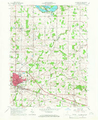
Editions of this 1965 Columbia City Map
2 editions found
Other maps of this area

1951 · Ormas
USGS Topo · 1:24,000

1951 · Merriam
USGS Topo · 1:24,000

1953 · Fort Wayne
USGS Topo · 1:250,000

1955 · Columbia City
USGS Topo · 1:24,000

1955 · Ege
USGS Topo · 1:24,000

1956 · Fort Wayne
USGS Topo · 1:250,000

1956 · Lorane
USGS Topo · 1:24,000

1957 · Churubusco
USGS Topo · 1:24,000

1961 · Arcola
USGS Topo · 1:24,000
1961 · Laud
USGS Topo · 1:24,000