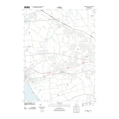
2010 Map of Columbia East
USGS Topo · Published 2010About this map
Mountville serves as a central hub on this landscape, positioned along a major transit corridor that cuts through the heart of Lancaster County. The surrounding area is characterized by a dense network of local roads and several small-scale airfields, including Wilton Airport, McGinness Airport, and Manor Knoll Airport, suggesting a unique aviation character for this rural-suburban hybrid. Waterways like Chiques Creek and Strickler Run drain the terrain toward the Susquehanna River visible in the southwest corner, where Shad Island sits near the shore.
Find a feature on this map
92 named features on this map. Tap any name to fly to it.
Don’t see what you’re looking for? This feature index may not catch every label — zoom into the map to look around manually.
Map Details
Editions of this 2010 Columbia East Map
This is the sole edition of this map. No revisions or reprints were ever made.
Other maps of this area

1902 · Lancaster
USGS Topo · 1:62,500

1904 · Lancaster
USGS Topo · 1:62,500

1908 · Middletown
USGS Topo · 1:62,500

1908 · York
USGS Topo · 1:62,500

1910 · York
USGS Topo · 1:62,500

1912 · Mc Calls Ferry
USGS Topo · 1:62,500

1943 · Lancaster
USGS Topo · 1:62,500

1943 · Middletown
USGS Topo · 1:62,500

1943 · Mc Calls Ferry
USGS Topo · 1:62,500

1948 · Baltimore
USGS Topo · 1:250,000
Featured Places
- Mount Joy, PA
- Mountville, PA
- Mount Joy Township, PA
- East Donegal Township, PA
- East Hempfield Township, PA