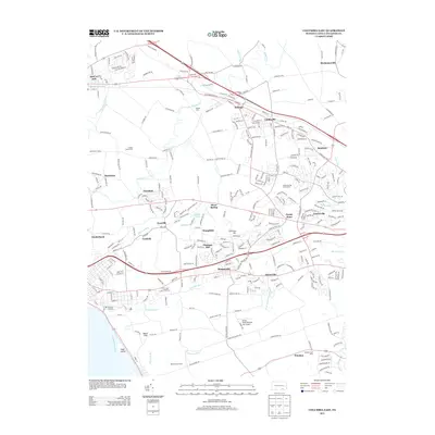
2013 Map of Columbia East
USGS Topo · Published 2013About this map
Salunga and Landisville sit at the northern edge of this Pennsylvania landscape, where established small-town centers give way to the evolving residential developments of the early 21st century. The map illustrates a dense network of naming conventions tied to the agricultural and milling history of the region, specifically along the winding course of Chiques Cr and its tributaries. To the south, the borough of Mountville serves as a central hub, flanked by older hamlets like Ironville and Cordelia. The proximity to the Susquehanna River is evident in the southwestern corner near Shad Island, while specialized landmarks such as the Mc Ginness Airport and Manor Knoll Personal Use Airport highlight the mix of suburban and rural infrastructure. Local genealogists will find value in the specific naming of family-linked sites like the Rohrer Dairy Farm and Hillside Farm.
Find a feature on this map
316 named features on this map. Tap any name to fly to it.
Don’t see what you’re looking for? This feature index may not catch every label — zoom into the map to look around manually.
Map Details
Editions of this 2013 Columbia East Map
This is the sole edition of this map. No revisions or reprints were ever made.
Other maps of this area

1902 · Lancaster
USGS Topo · 1:62,500

1904 · Lancaster
USGS Topo · 1:62,500

1908 · Middletown
USGS Topo · 1:62,500

1908 · York
USGS Topo · 1:62,500

1910 · York
USGS Topo · 1:62,500

1912 · Mc Calls Ferry
USGS Topo · 1:62,500

1943 · Lancaster
USGS Topo · 1:62,500

1943 · Middletown
USGS Topo · 1:62,500

1943 · Mc Calls Ferry
USGS Topo · 1:62,500

1948 · Baltimore
USGS Topo · 1:250,000
Featured Places
- Mount Joy, PA
- Mountville, PA
- Mount Joy Township, PA
- East Donegal Township, PA
- East Hempfield Township, PA