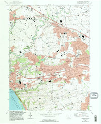
1995 Map of Columbia East
USGS Topo · Published 1996About this map
Columbia sits at the southwestern edge of this landscape, where the wide Susquehanna River flows into Lake Clarke. The terrain transitions from the river flats toward the distinctive elevation of Chestnut Hill, which separates the industrial and residential corridors from the more rural stretches of West Hempfield and East Hempfield. This mid-1990s landscape is deeply marked by the legacy of early infrastructure and community institutions, ranging from the tracks of the Penn Central railroad to local religious and educational centers like the Central Manor Meeting House and St Josephs Academy.
Find a feature on this map
70 named features on this map. Tap any name to fly to it.
Don’t see what you’re looking for? This feature index may not catch every label — zoom into the map to look around manually.
Map Details
Editions of this 1995 Columbia East Map
This is the sole edition of this map. No revisions or reprints were ever made.
Other maps of this area

1902 · Lancaster
USGS Topo · 1:62,500

1904 · Lancaster
USGS Topo · 1:62,500

1908 · Middletown
USGS Topo · 1:62,500

1908 · York
USGS Topo · 1:62,500

1910 · York
USGS Topo · 1:62,500

1912 · Mc Calls Ferry
USGS Topo · 1:62,500

1943 · Lancaster
USGS Topo · 1:62,500

1943 · Middletown
USGS Topo · 1:62,500

1943 · Mc Calls Ferry
USGS Topo · 1:62,500

1948 · Baltimore
USGS Topo · 1:250,000