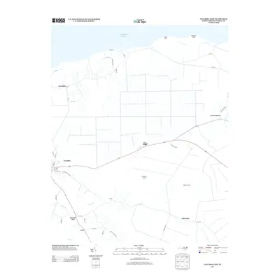
2013 Map of Columbia East
USGS Topo · Published 2013About this map
The coastal marshlands and agricultural tracts of Tyrrell County are detailed here, where the land meets the Atlantic Ocean at Ship Point and Palmetto Point. The settlement of Columbia serves as a primary hub, while smaller communities like Pleasant View, Jerry, and Newfoundland are dispersed along the low-lying interior. This landscape is defined by its subtle elevations and drainage patterns, with landmarks such as Dillion Ridge and Mills Ridge providing slight relief above the surrounding wetlands of the Big Savanna and Cranberry Island.
Find a feature on this map
45 named features on this map. Tap any name to fly to it.
Don’t see what you’re looking for? This feature index may not catch every label — zoom into the map to look around manually.
Map Details
Editions of this 2013 Columbia East Map
This is the sole edition of this map. No revisions or reprints were ever made.
Other maps of this area

1906 · Hertford
USGS Topo · 1:62,500

1940 · Hertford
USGS Topo · 1:62,500

1940 · Wade Point
USGS Topo · 1:62,500

1943 · Wade Point
USGS Topo · 1:62,500

1943 · Columbia
USGS Topo · 1:125,000

1948 · Wade Point
USGS Topo · 1:62,500

1953 · Norfolk
USGS Topo · 1:250,000

1953 · Columbia East
USGS Topo · 1:24,000

1953 · Scotia
USGS Topo · 1:24,000

1953 · Columbia West
USGS Topo · 1:24,000