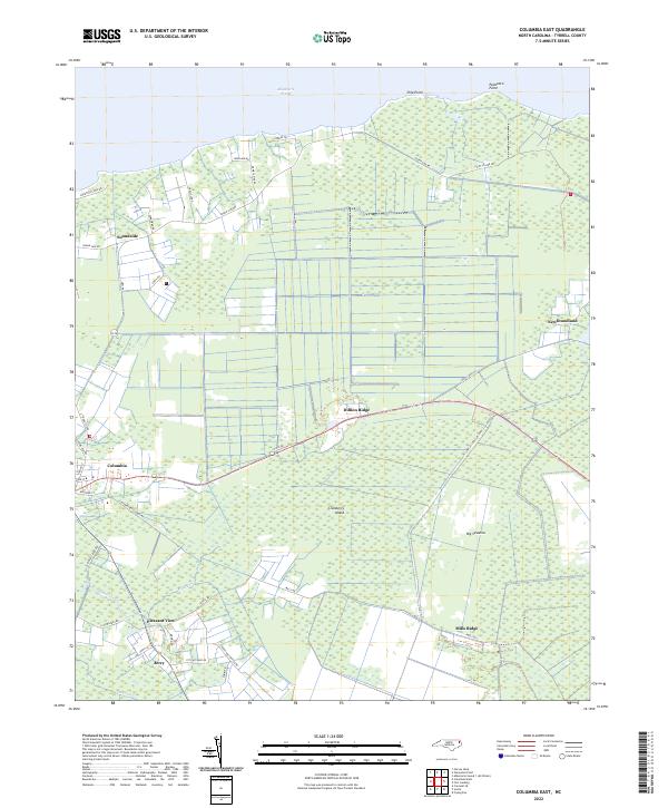
2022 Map of Columbia East
USGS Topo · Published 2022About this map
Albemarle Sound forms the northern boundary of this coastal landscape, where the town of Columbia sits at the western edge near the headwaters of Riders Creek. The geography is defined by a series of low-lying ridges and expansive wetlands, including the Big Savanna and the isolated rise of Cranberry Island. Settled pockets such as Soundside and Newfoundland dot the shoreline and interior, connected by a network of rural roads that navigate the complex drainage of Second Cr.
Find a feature on this map
41 named features on this map. Tap any name to fly to it.
Don’t see what you’re looking for? This feature index may not catch every label — zoom into the map to look around manually.
Map Details
Editions of this 2022 Columbia East Map
This is the sole edition of this map. No revisions or reprints were ever made.
Other maps of this area

1906 · Hertford
USGS Topo · 1:62,500

1940 · Hertford
USGS Topo · 1:62,500

1940 · Wade Point
USGS Topo · 1:62,500

1943 · Wade Point
USGS Topo · 1:62,500

1943 · Columbia
USGS Topo · 1:125,000

1948 · Wade Point
USGS Topo · 1:62,500

1953 · Norfolk
USGS Topo · 1:250,000

1953 · Columbia East
USGS Topo · 1:24,000

1953 · Scotia
USGS Topo · 1:24,000

1953 · Columbia West
USGS Topo · 1:24,000