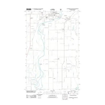
2011 Map of Columbia Falls South
USGS Topo · Published 2011About this map
The Flathead River winds through this landscape, creating a complex network of waterways including Gooderich Bayou and Spring Creek. The area south of Columbia Falls is characterized by its recreational and institutional presence, featuring several parks and the Montana State Soldiers Home. The map documents a blend of residential growth and rural infrastructure, from the structured streets of Big Sky Colonial Manor and Lazy Day Court to the spread-out community of La Salle. Local services are well-represented by the Columbia Falls Fire Dept and multiple emergency stations like Bad Rock Vol Fire Dept Sta 1. For genealogists, the map is a significant record of three distinct burial grounds: Woodlawn Cemetery, Saint Richard Cemetery, and Fairview Cemetery. This 2011 survey captures the region before further modern development, highlighting the importance of river access points like Pressentine Bar Fishing Access and the Kokanee Bend Fishing Access.
Find a feature on this map
82 named features on this map. Tap any name to fly to it.
Don’t see what you’re looking for? This feature index may not catch every label — zoom into the map to look around manually.
Map Details
Editions of this 2011 Columbia Falls South Map
This is the sole edition of this map. No revisions or reprints were ever made.
Other maps of this area

1943 · Kalispell
USGS Topo · 1:125,000

1957 · Kalispell
USGS Topo · 1:250,000

1960 · Kalispell
USGS Topo · 1:250,000

1961 · Kalispell
USGS Topo · 1:250,000

1962 · Columbia Falls South
USGS Topo · 1:24,000

1962 · Doris Mountain
USGS Topo · 1:24,000

1962 · Rose Crossing
USGS Topo · 1:24,000

1962 · Hungry Horse
USGS Topo · 1:24,000

1962 · Creston
USGS Topo · 1:24,000

1962 · Hash Mountain
USGS Topo · 1:24,000