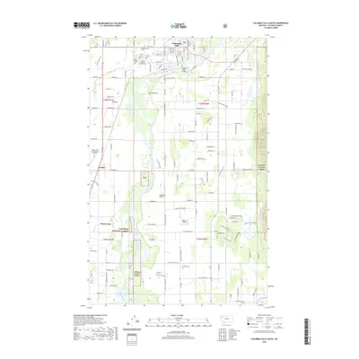
2020 Map of Columbia Falls South
USGS Topo · Published 2020About this map
The Flathead River winds through this Flathead County landscape, defining the transition from the city of Columbia Falls to the agricultural reaches of the Flathead Valley. This 2020 record illustrates the proximity of the Flathead National Forest to expanding residential developments and vital transportation corridors like the BNSF Railway. For genealogists, the map is remarkably dense with burial sites including Woodlawn Cem, Saint Richard Cem, and the Montana Veterans Home Cem, alongside the Fairview Cem further south. The survey captures the integration of aviation and industry, from the sprawling Glacier Park International Airport to the smaller Hoehner Airport. Significant hydrographic features like Gooderich Bayou and Morning Slough reveal the intricate drainage patterns that have shaped land use near Helena Flats and La Salle.
Find a feature on this map
130 named features on this map. Tap any name to fly to it.
Don’t see what you’re looking for? This feature index may not catch every label — zoom into the map to look around manually.
Map Details
Editions of this 2020 Columbia Falls South Map
This is the sole edition of this map. No revisions or reprints were ever made.
Other maps of this area

1943 · Kalispell
USGS Topo · 1:125,000

1957 · Kalispell
USGS Topo · 1:250,000

1960 · Kalispell
USGS Topo · 1:250,000

1961 · Kalispell
USGS Topo · 1:250,000

1962 · Columbia Falls South
USGS Topo · 1:24,000

1962 · Doris Mountain
USGS Topo · 1:24,000

1962 · Rose Crossing
USGS Topo · 1:24,000

1962 · Hungry Horse
USGS Topo · 1:24,000

1962 · Creston
USGS Topo · 1:24,000

1962 · Hash Mountain
USGS Topo · 1:24,000