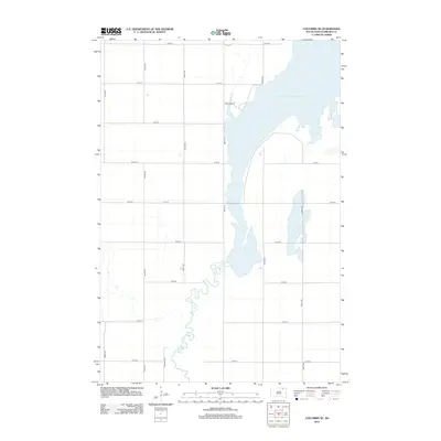
2012 Map of Columbia NE
USGS Topo · Published 2012About this map
The meandering James River snakes through the glacial plains of Brown County, South Dakota, defining the southern half of this landscape before flowing into the expansive Columbia Road Reservoir. This 2012 survey captures a rural territory dominated by a strict section-line grid of local roads, such as Roettele Rd and Sand Lake Dr, which serve the agricultural parcels surrounding the water system. The contrast between the rigid, human-made road network and the fluid, winding path of the river highlights the geographic character of the Columbia NE area, where water management and prairie farming intersect.
Find a feature on this map
19 named features on this map. Tap any name to fly to it.
Don’t see what you’re looking for? This feature index may not catch every label — zoom into the map to look around manually.
Map Details
Editions of this 2012 Columbia NE Map
This is the sole edition of this map. No revisions or reprints were ever made.
Other maps of this area

1894 · Hecla
USGS Topo · 1:62,500

1894 · Columbia
USGS Topo · 1:62,500

1894 · Savo
USGS Topo · 1:62,500

1896 · Columbia
USGS Topo · 1:125,000

1952 · Columbia
USGS Topo · 1:24,000

1952 · Ordway
USGS Topo · 1:24,000

1952 · Columbia NE
USGS Topo · 1:24,000

1952 · Westport
USGS Topo · 1:24,000

1952 · Putney
USGS Topo · 1:24,000

1953 · Savo SW
USGS Topo · 1:24,000